New Jersey Mobile Fishing Maps for iPhone-iPad-Android
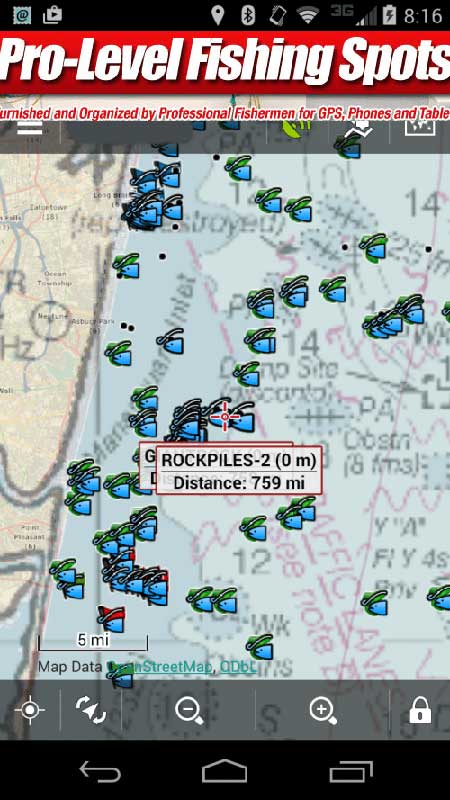
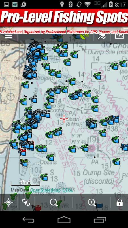
New Jersey Fishing Maps for your Mobile Devices. Our New Jersey fishing spots now come standard with a simple Google Satellite file, but also include a Google Earth file with a NOAA Nautical Fishing Chart overlay that works with many Mobile devices and computers and offered exclusively by New Jersey fishing spots. We are the first digital fishing spots and map designers to integrate updated Nautical Chart overlays, linked to your purchased area(s) from our server. The fishing chart overlay lines up precisely with your purchased fishing area(s) for detailed mapping on computer and mobile. The fishing spots float over the chart as you’ll see in the sample screen shots below. You can “tap” the spots to see comments using the free Google Earth App. (The Google Earth Satellite view and NOAA chart overlay file are both included with any purchase and emailed the same day of purchase.)
User Note: When you shop for fishing maps on the internet, always check to be sure you see our BLUE OVAL LOGO on the header when shopping for our fishing maps online. This type of logo is found at all our websites in (9) Coastal States. We are the first and original internet store offering digital GPS fishing spots on the web. We’ve been in the digital fishing spots business for over 14 years on line, and on land and the company was established in 1994.
Works with iPhone, iPad, Android, Droid Mobile Devices using the free Google Earth App! Also, use this included file with your computer at home or work with Google Earth to plot your fishing spots for the weekend, look at fishing spots comments and more. Mobile fishing maps are a big part of fishing these days for some people. The future of mobile fishing is electronic mapping and fishing spots using Mobile Devices for many fishermen. Our Mobile Charts are by NOAA and a mixture of other digital charts and custom map sources.
* Works with the free Google Earth App and our recommended GPS Apps
* Our Nautical chart overlays are built into a single Google Earth file for simplicity
* View NOAA chart symbols, many depths and several bottom contours and custom added features (works on many devices, but not all, WiFi or 4G data signal is required to display map images)
* Find breaks and rips, depths, shoals, etc on an around contours and shallow humps
* The Mobile NOAA Charts are designed for Phones, Tablets and Computers


